 An official website of the United States government.
 Official websites use.gov
A .gov website belongs to an official government organization in the United States.
Official websites use.gov
A .gov website belongs to an official government organization in the United States.
 Secure .gov websites use HTTPS
A lock or https:// means you’ve safely connected to the .gov website. Share sensitive information only on official, secure websites.
Secure .gov websites use HTTPS
A lock or https:// means you’ve safely connected to the .gov website. Share sensitive information only on official, secure websites.
Join us on April 10 at 1:30 pm ET for our next seminar in our Planning for Actionable Science in the Gulf of Mexico series.
In 2023, 10 projects were funded by the NOAA RESTORE Science Progam’s Actionable Science competition to conduct previously planned research in the Gulf of Mexico. Though each project conducted a collaborative planning process prior to receiving this funding, that process varied greatly from team to team. This seminar series will highlight the variety of approaches to planning applied research that were taken by each team. Planning activities include holding workshops to convene interested parties, conducting preliminary research to identify research gaps, and building relationships among team members to support better communication throughout the project.
Join this series to hear lessons learned from teams that have prioritized collaborative processes in their research planning. For more information on the 10 projects funded, visit the award announcement.
Our second seminar will take place next Wednesday. We will be joined by Dr. Kelly Darnell and Dr. Savanna Barry. It’s not too late to register here.
During our third seminar on April 10, we will be joined by Courtney Saari and Dr. Scott Socolofsky. See more details about their presentations below.
Courtney Saari, Florida Fish and Wildlife Conservation Commission’s Fish and Wildlife Research Institute
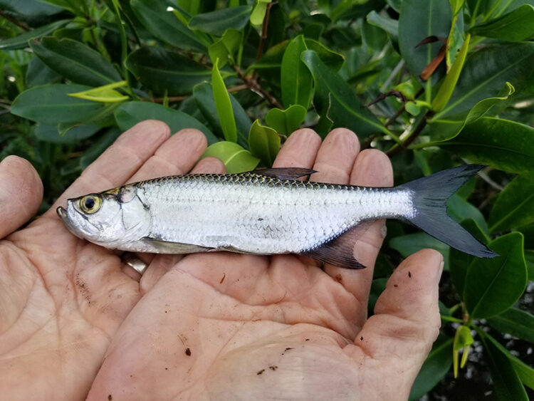
Collaborating to Conserve Vulnerable Fish Habitat: A Co-Production Story from Southwest Florida
A science co-production framework is being applied to inform local policies that protect vulnerable fish habitat. In Southwest Florida, nursery habitats for two economically important sportfish (snook and tarpon) exist along a tidal wetland gradient in close proximity to accelerating coastal development. Since land-use and infrastructure planning can directly affect fish nursery habitat, researchers have sought partnerships with managers that govern at finer spatial scales to conserve or restore these habitats. A novel collaborative approach was developed to integrate the research and management conducted by multiple agencies (local, state, federal), universities, and NGOs in Southwest Florida to specifically address habitat challenges for juvenile sportfish. One of the goals is to integrate juvenile sportfish habitat into county GIS maps for land-use planning and stormwater engineering. Workshops supported by the NOAA RESTORE Science Program were held to plan actionable science using a facilitated co-production process with efforts focused on bridging the science and policy gaps on sportfish nursery habitat and reducing decision uncertainties. The findings were incorporated into a research plan that will be implemented over the next five years. The team will develop highly site-specific information for these wetland-dependent sportfish by documenting use of natural and restored habitats, developing hydrologic models and a habitat vulnerability index. The resulting decision-support tools will be shared with land-use planners for proposed revisions of county comprehensive planning policy that address opportunities for zoning and infrastructure siting, local and state land acquisition, and habitat restoration. Learn more about the project here.
Dr. Scott Socolofsky, Texas A&M University
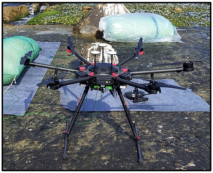
Using Unmanned Aerial Systems to Improve Response to Coastal Oil Spills
We use unmanned aerial systems (UAS, or drones) to observe the sea surface over survey tracks followed by a drone with high-resolution video camera. From the drone video sequences, we infer the coastal currents from the Doppler shift of the surface waves. These data are important for predicting the trajectories and fates of spilled oil, and we are utilizing these data to help protect Texas coastlines near Galveston Bay as a testbed. The ultimate product of this work will be a map of surface oil coded using a quantitative metric that combines the oil state (fresh or weathered) and the forecast trajectory, which we are calling the response effectiveness index. This presentation discusses our process for working with Texas State managers to plan and conduct this research. Learn more about the project here.