 An official website of the United States government.
 Official websites use.gov
A .gov website belongs to an official government organization in the United States.
Official websites use.gov
A .gov website belongs to an official government organization in the United States.
 Secure .gov websites use HTTPS
A lock or https:// means you’ve safely connected to the .gov website. Share sensitive information only on official, secure websites.
Secure .gov websites use HTTPS
A lock or https:// means you’ve safely connected to the .gov website. Share sensitive information only on official, secure websites.
Full Title: A Web-Based Interactive Decision-Support Tool for Adaptation of Coastal Urban and Natural Ecosystems (ACUNE) in Southwest Florida
This project developed a decision support tool to aid resource managers, municipalities, and a county with decisions related to the preservation and restoration of mangrove, marsh, and beach habitats; water management; and coastal planning, zoning, and land acquisition.
The Team: Y. Peter Sheng (Lead Investigator, University of Florida, pete@coastal.ufl.edu), Christine Angelini (University of Florida), Justin R. Davis (University of Florida), Vladimir A. Paramygin (University of Florida), Michael Savarese (Florida Gulf Coast University), Felix Jose (Florida Gulf Coast University), David Letson (University of Miami), Karen Thorne (U.S. Geological Survey), Ken Krauss (United States Geological Survey), and Michael Barry (The Institute of Regional Conservation)
Technical Monitor: Dave Kidwell (david.kidwell@noaa.gov) and Kassie Ernst (kathleen.ernst@noaa.gov)
Federal Program Officer/Point of Contact: Frank Parker (frank.parker@noaa.gov)
This project began in June 2017 and ended in November 2021.
Award Amount: $995,487
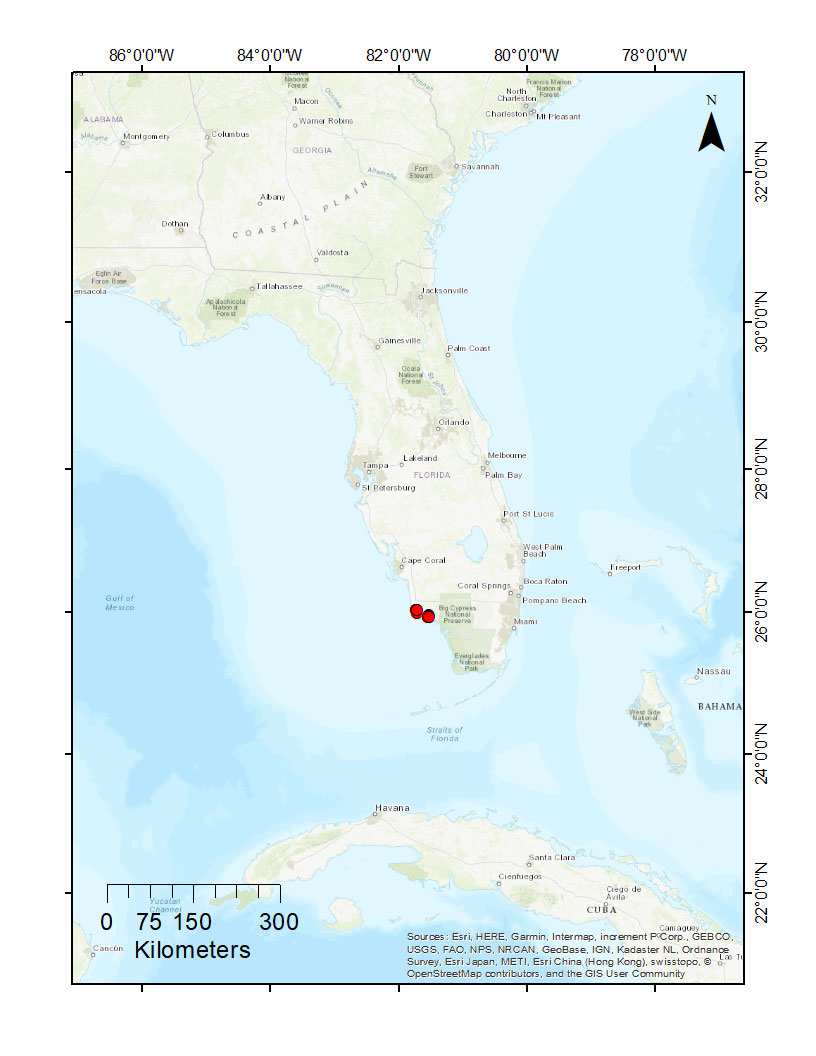
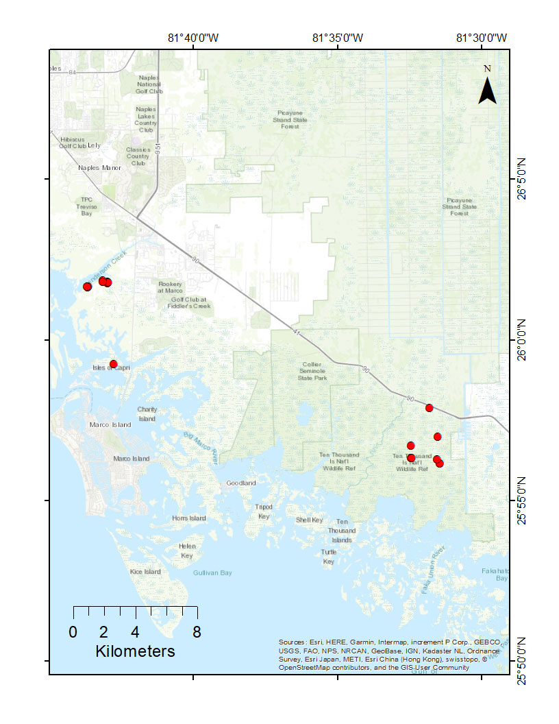
Why it matters: Southwest Florida contains the largest area of tidally influenced public lands in the Gulf of Mexico and the fastest growing urban landscape in Florida. Both the human and natural components of the ecosystem are under increasing risk due to the threats of a growing human population, sea level rise, and tropical cyclones. This decision-support tool was designed to aid resource managers with preservation and restoration of mangrove, marsh, beach habitats and adaptation of water management efforts to mitigate future saltwater intrusion in estuaries and their associated habitats.
What the team did: This was accomplished in two steps. First, a suite of coupled state-of-the-art models were used to create inundation, salinity distribution, habitat distribution, beach and barrier islands vulnerability, and economic impact maps for current and future climates and for various sea level rise scenarios specific to the region. The researchers then integrated the maps into an Adaptation of Coastal Urban and Natural Ecosystems (ACUNE) web-based interactive decision-support tool that enables users to identify areas of high vulnerability in many layers of interest.
Summary of Outcome:
Key projects accomplishments include:
- Co-developed a scientifically robust user-friendly ACUNE Geo Tool for adaptation planning by managers of local urban and natural systems, by utilizing the best available climate, coastal, ecological, and economic sciences, models, and data. Local stakeholders and NOAA technical managers have been actively engaged throughout the project.
- Developed the 1% annual chance coastal flood maps (including compound flooding by sea-level rise and tropical cyclones) and nuisance tide flood maps (including sea-level rise and tidal flooding) for current and future climate scenarios in 2030, 2060, and 2100.
- Assessed the ecosystem service value of coastal wetlands (mangroves, marshes, and woody wetlands) for buffering coastal communities from residential structural damage due to compound flooding by tropical cyclones and sea level rise in current and future climates.
- Provided in-depth training to managers of local urban and natural systems on the use of the ACUNE Geo Tool for assessing the vulnerability of future coastal flooding on various infrastructures and adaptation planning.
- Coastal communities and local governments, as well as neighboring communities (Lee, Charlotte, Pinellas, and Miami-Dade Counties) and other federal (USACE, USGS, USFWS) and state (Florida Department of Transportation, Florida Department of Environmental Protection, Florida Water Management Districts) agencies, have applied the current and future coastal flood risk to assessments and planning efforts in the region.